At the end of this entry there is a downloadable pdf with full details of the walk. Due to restrictions on space this is a summary!
This walk starts at the Hardy Monument, G.R. SY615875, a National Trust site. The walk takes approximately 3 hours and involves some moderate walking along recognised footpaths and minor roads.
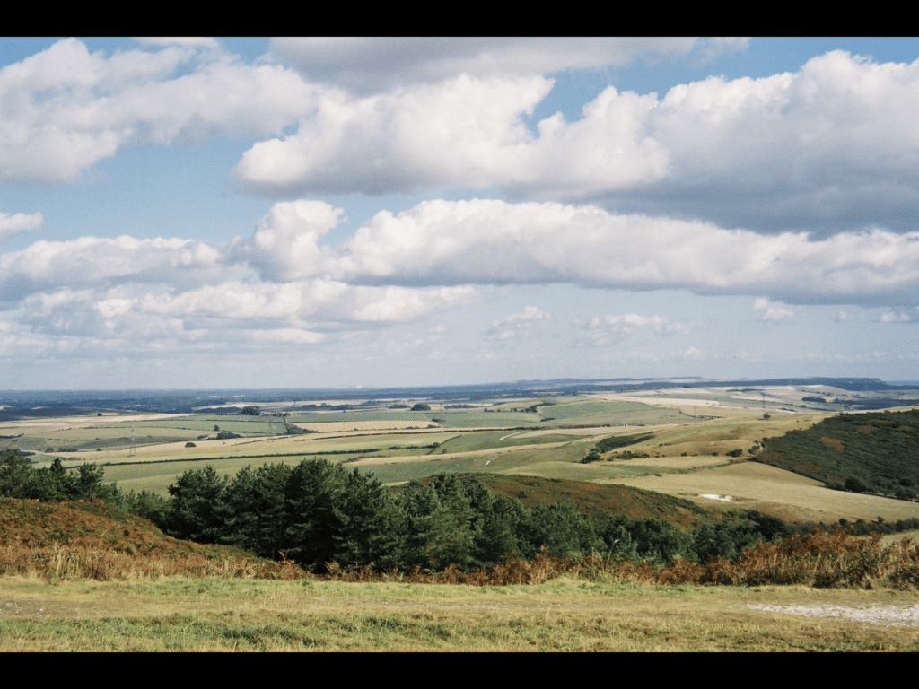
There are splendid views to the north and south from the Hardy Monument assuming you visit on a fine day! The view below is looking east and you can pick out the Chalk cliffs of the Needles on the skyline in the original.

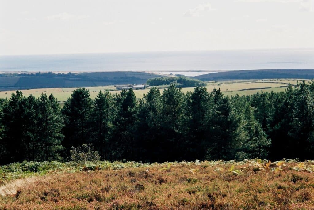
The picture below shows the view to Langton Herring, the Fleet and Chesil Beach.

Around the Hardy Monument is some typical Dorset heathland developed on the Tertiary sands and gravels of the Bracklesham Group, Poole Formation (formerly known as Bagshot Beds) and are around 50 million years old. The beds around the Hardy Monument are pebbly made of chert and flint as can be seen on the south side of the car park and in the picture below. This is called a conglomerate.

Conifer plantations are the only commercial use for this poor stony soil. A footpath leads southwest from the car park towards some woodland and you quickly link up with another path with a sign to West Bexington. The coarse pebbly nature of the Bracklesham Group can be seen in the footpath and this continues on through the woodland. In the footpath within the woodland the remains of a Sarsen Stone can be seen. This is a rock made from flint and chert clasts and cemented with silica being produced in early Tertiary times from the weathering of Chalk or the underlying Upper Greensand. This produced a rock, which is both physically, and chemically strong and large examples can be seen in the village of Portesham in the stream and in the foundations of some of the buildings.

As you emerge from the woodland at the bottom of the hill you will be able to see Black Down Barn (G.R. SY610868) to the left (east). You have now left the sands and gravels and are on the Chalk. Few exposures of the Chalk occur as it forms rolling down land being used either for pasture or for crops. Any ploughed field will show the thin soils and abundant Chalk fragments.
Follow the footpath south towards Portesham Farm (G.R. SY611861). As you do this you cross a fault with the Upper Chalk to the north and the Lower Purbeck Beds to the south so around 200 m of rock has been eroded away.
Just to the south of Portesham Farm is Rocket Quarry where Purbeck and Portland Stone was extracted over many years and supplied Portesham with much of its building stone in the past. More information on Rocket Quarry is given in information boards on site and in the DIGS website at the end of this account. On a clear day the view from this point is great especially looking east to Upwey (see below) and west to Abbotsbury.

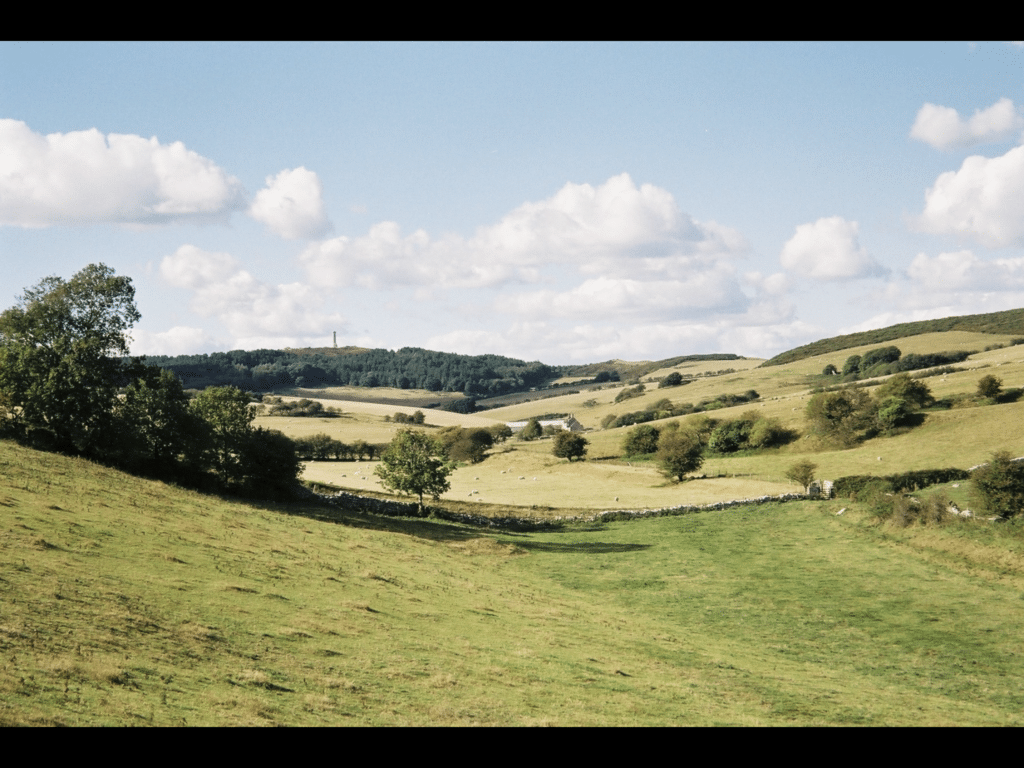
From Rocket Quarry go east towards Corton. The footpath follows the ridge of the Portland and Purbeck Beds with the Kimmeridge Clay vale to the south as seen in the picture above. The ridge continues to Corton where the chapel is worth a visit. From Corton you turn west along the road and then take the footpath up Hell’s Bottom and you can see the Hardy Monument in the distance. This is a fine example of a dry valley.

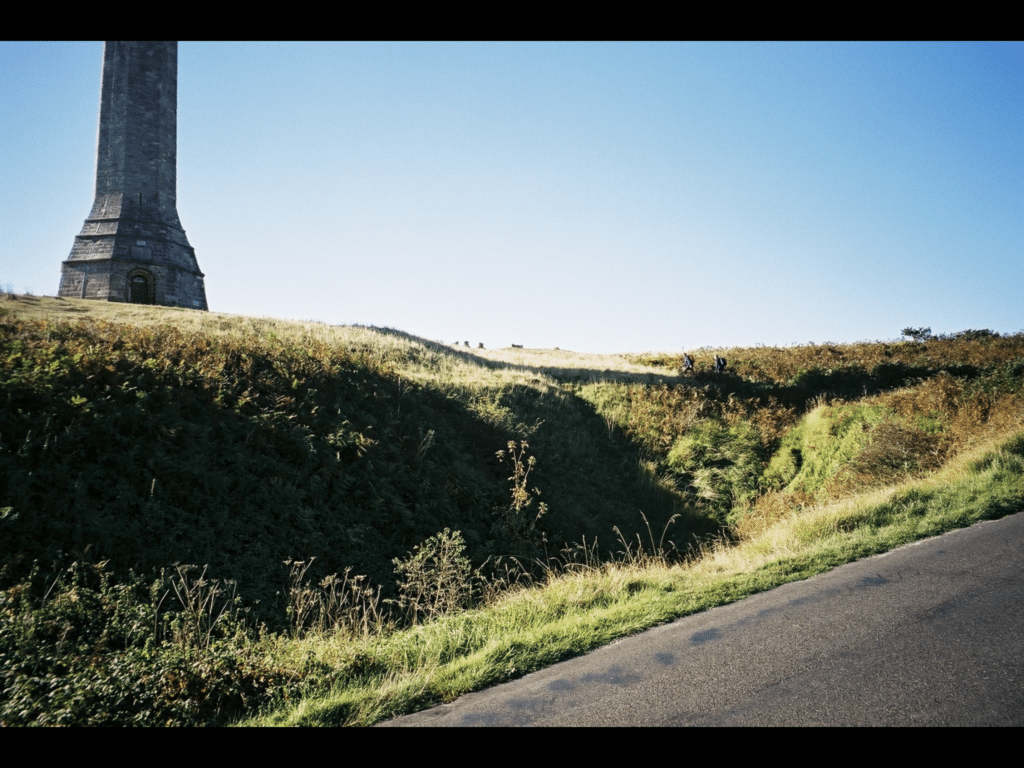
On reaching the road below the Hardy Monument turn uphill to reach the car park. There are depressions that look like bomb craters (see picture below). These are dolines formed by collapse of the gravels as the Chalk underneath has been dissolved away by acid rain and groundwater.

This is one of a set of five walks in west Dorset (Beneath Your Feet) which is available from DIGS. There is also a companion set of five walks in Purbeck. See the DIGS website for more detail.
http://www.dorsetrigs.org.uk/southwestrigs/porteshamquarry/
PLEASE SUPPORT US FOR JUST £2 A MONTH


