Wyke Regis is essentially built around a hill whose 240 foot summit demands a commanding view for miles in all directions. Dominating the coastal village sandwhiched between Portland and Weymouth, Wyke Hill would have had a sacred symbolism since the time of Neolithic temple builders.
A 16th Century warning beacon was known to have stood at the summit, where the tv mast is today, on an area called Church Nap overlooking All Saint’s Church.
It would have been a perfect spot to sit and watch the action of the Spanish Armada in 1588, England versus Spain, Protestants versus Catholics.
There is an old ridgeway path that rides on past the summit that connects the Fleet and Chesil Beach in the west to Nothe Point, the direction of the morning sun. The path was the fast way across town connecting farms, shops and homes with the relugious centre where the church is now.
Rivers would have cascaded down the slopes into the Fleet, Portland Bay and Weymouth Backwater via the marsh.
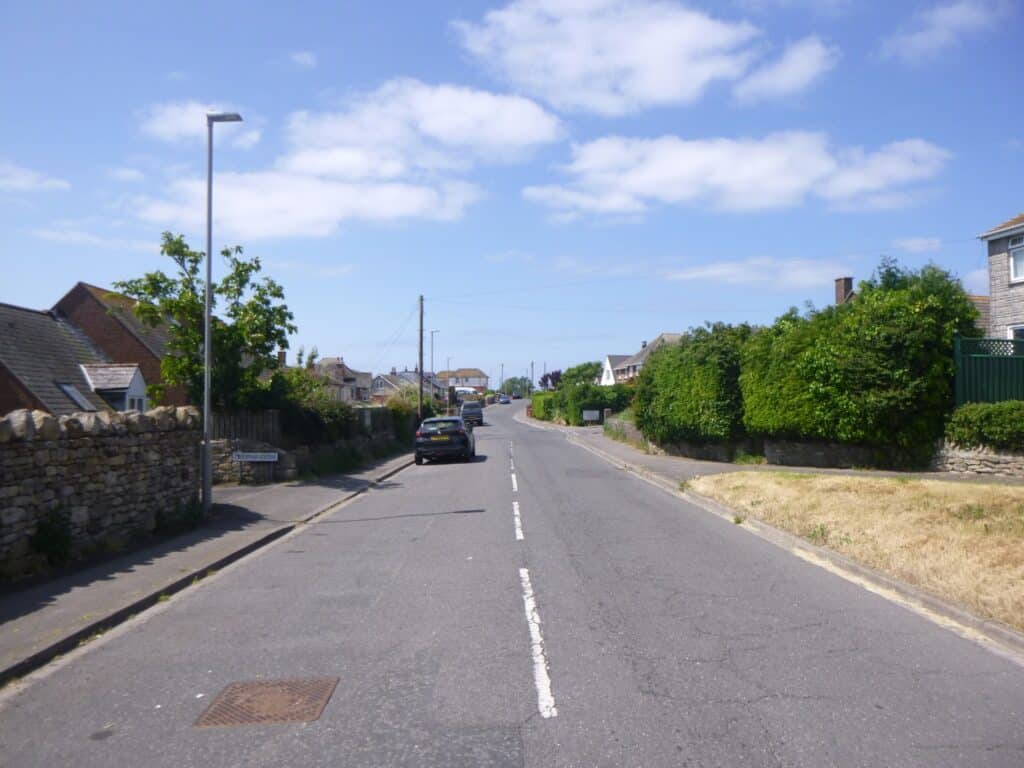
Thursday was a good day to explore Wyke’s ridgeway, now very built up and busy with traffic, starting at the Nothe with the sun on my back, I tried to imagine how it used to be.
The Bridging Camp
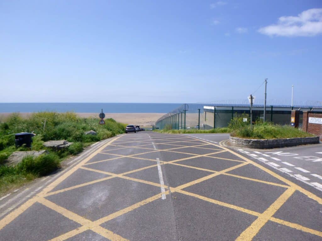
Entrance to the Bridging Camp. For generations, locals called the area ‘Locket’s Hole’ and used it for fishing in the Fleet at the fast flowing tidal waters called the ‘Narrows’. In 1928 the Royal Engineers camped on the site training to build pontoon bridges.
By the 1970’s the ‘camp’ had expanded to include training in map reading, field defences, mine laying, demolition work, rafting, armoured personnel carrier floatation, canoeing and orienteering.
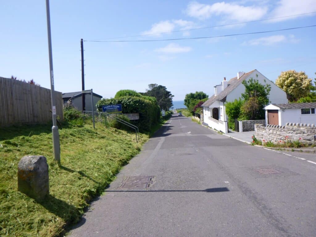
Boundry stone at Barrow Rise, where the villagers used as a lookout for shipwrecks on Chesil Beach and fish shoals in Lyme Bay for centuries before a housing estate was built in its place in 1939.
Nothe Fort
Nothe Fort was built to defend both Portland and Weymouth harbours as part of the Admiralty coastal defences towards the end of the 19th Century. It is one of many Palmerston Forts constructed against the threat of French invasion.
It was upgraded for both World Wars before its decommisioning in 1956. The derelict fort was restored in the early 1980’s by the Weymouth Civic Society.
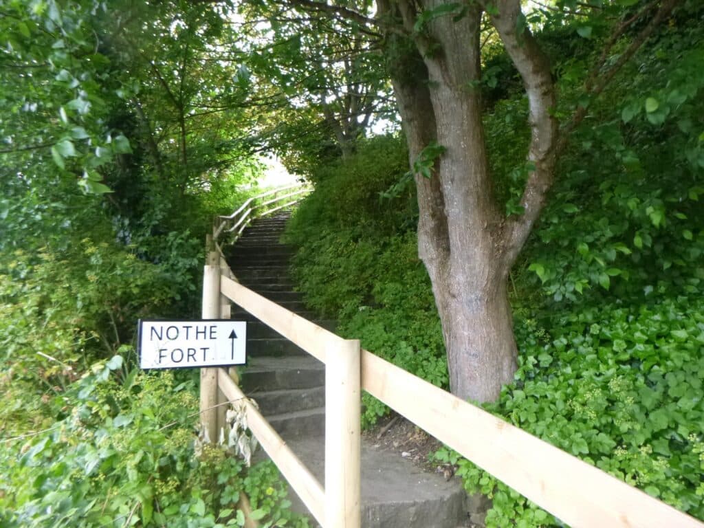
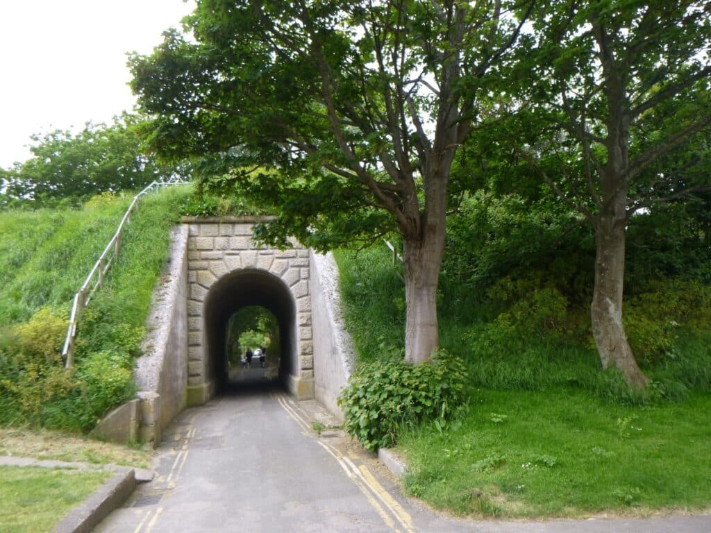
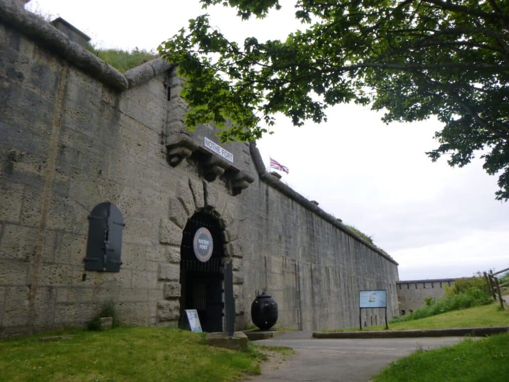
Gun emplacements have existed at Nothe Point since at least the 17th Century when Queen Elizabeth Fort was constructed here to keep the Spanish from invading our shores.
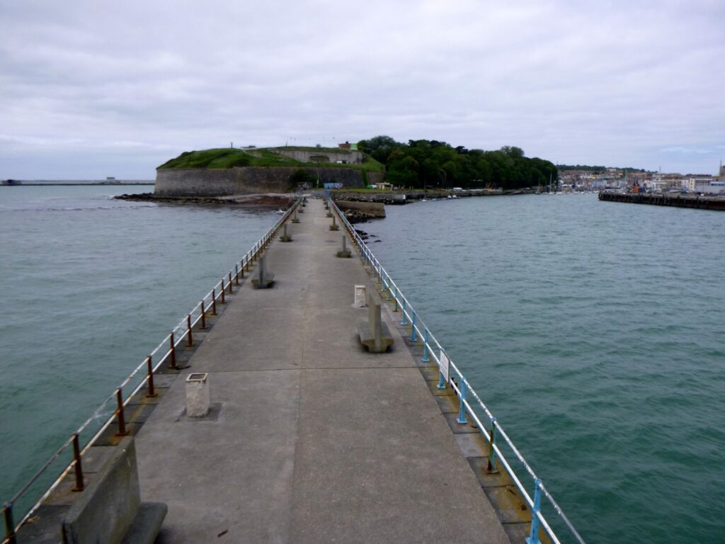
I like to imagine a Neolithic standing stone, circle or dolmen sat here once. There certainly would have been a lookout tower here. A 16th century warning beacon once stood here.
The Peace Garden
The Peace Garden lies on the site of an old Quaker cemetery offering burials not only for its own community but to other ‘non conformists’ of Weymouth and Portland until it fell into disuse in the early 20th Century.
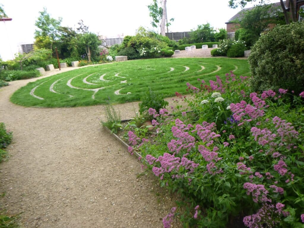
A local volunteer group cleared the site in 2009, planting shrubs, laid the labyrinth and seating to produce a garden of calm and meditation that is always open for all to enjoy.
Up Wyke Road
The old Maternity Hospital, Portwey Hospital resided here
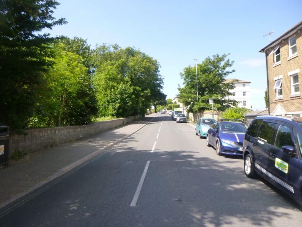
Up the hill
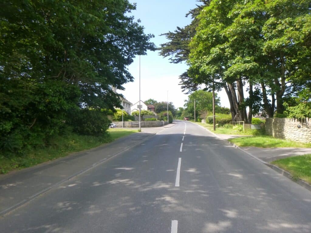
At the summit
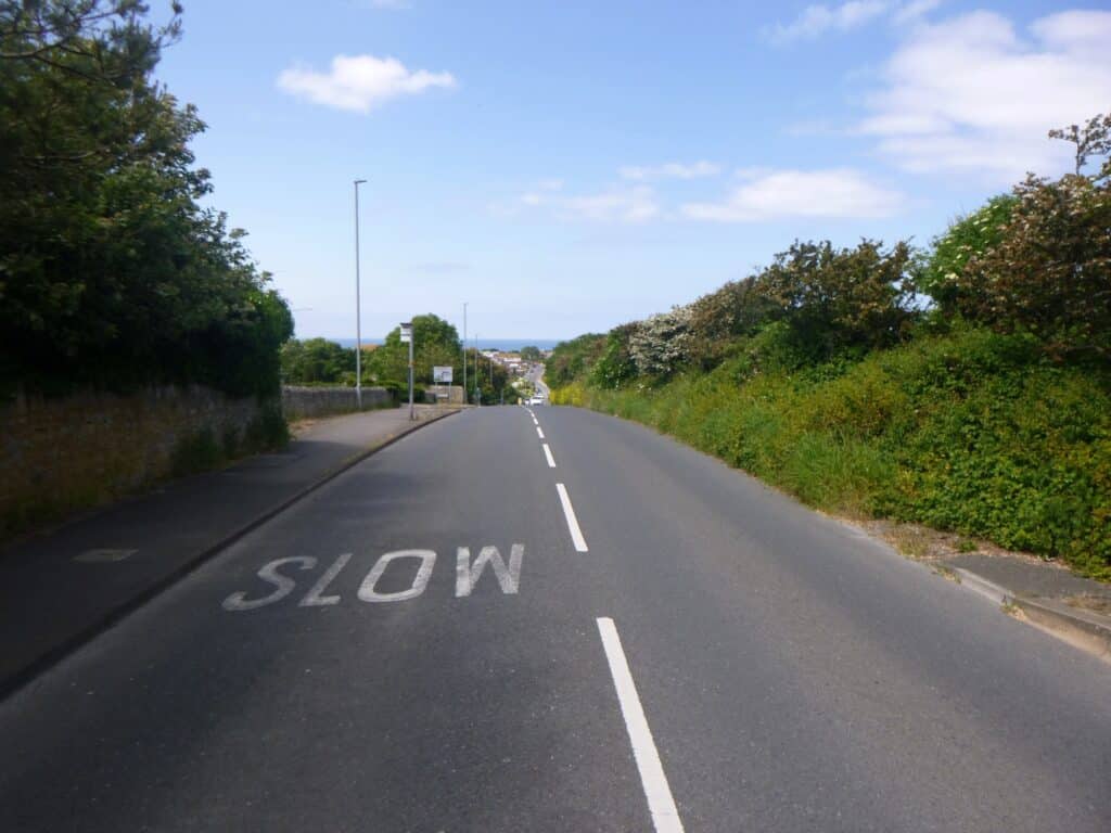
St Swithen’s Fair and Market
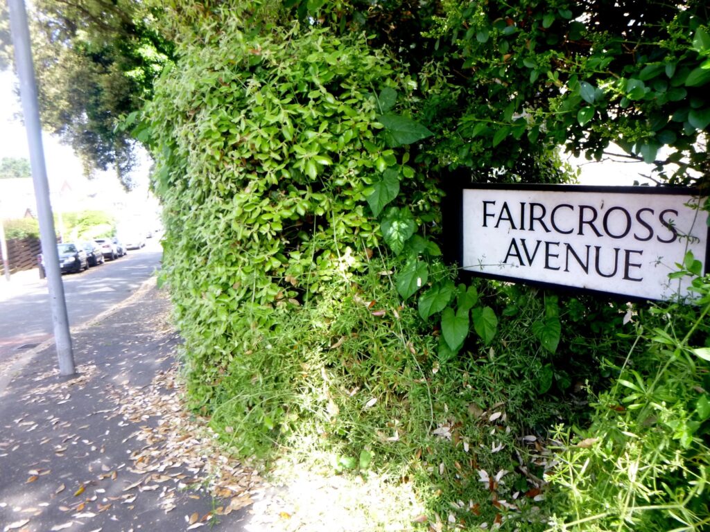
In 1221, the priory of St. Swithun’s gave authority for a Fair and Market to take place in Wyke. A Norman cross marked its location, lost to time until the base and part of the upright was found in a ditch in 1880 when Faircross House was built. It now stands in the grounds of Faircross Court.
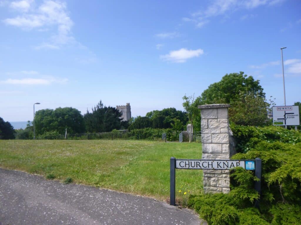
Church Knap
A labourer in 1858 discovered a Romano-British grave while digging at Church Nap above All Saints Church.
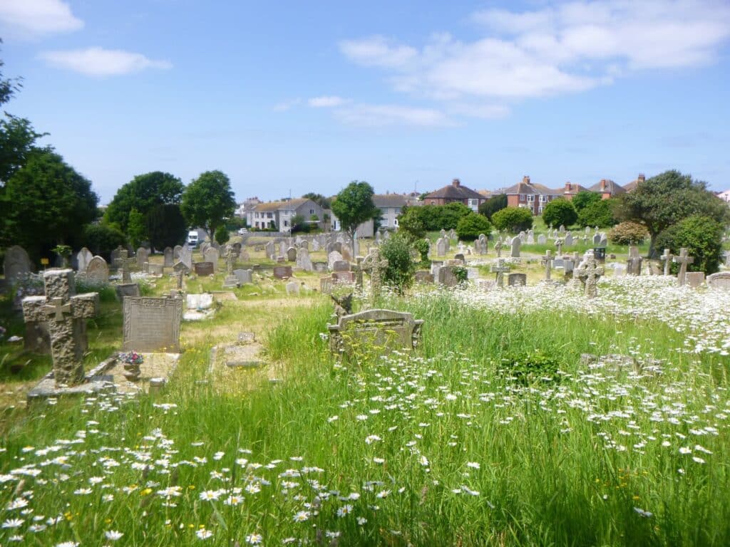
When Wykes first reservoir (1900) was being extended in 1937, several more Romano-British graves were discovered.
The Population of Wyke
1332 – 31
1641 – 119
1851 – 1,898
1891 – 4,148
1901 – 1,910, reflects a boundry change when Westham transferred to Weymouth.
1933 – due to further boundry changes, Wyke Regis lost its Parish status and became part of Weymouth and Melcombe Regis.
1981 – 5,026
2022 – 5,458
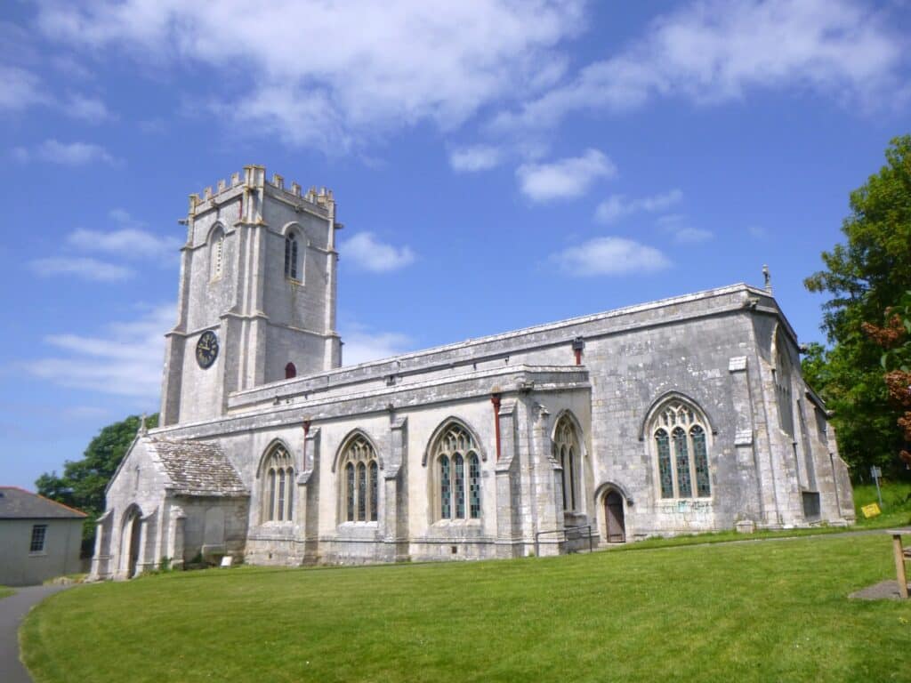
All Saints Church, Wyke
There has been a church in Wyke from at least 1172 which is believed to have replaced an earlier Saxon temple. There is evidence that the Norman church was pulled down and an ‘Early English’ style church built in its place. It showed the growing prosperity of the St. Swithun’s Monks.
It was a time when England began to become English, shaking off the rule of ‘foreign’ kings and barons for English kings and barons. Norman rule became English rule under Henry III, a third generation ‘Plantagenet’ – men from the small provence of Anjou on the Loire in France.
The ‘English’ Church also served the small port of Weymouth, its residents walking the ridgeway track along Wyke Road every Sunday leaving the town undefended against sneaky French raids.
With Dorset as a whole becoming more prosperous through wool and cloth and the port of Weymouth expanding, a new, bigger church was built in place of the cramped ‘New English’ church in 1455.
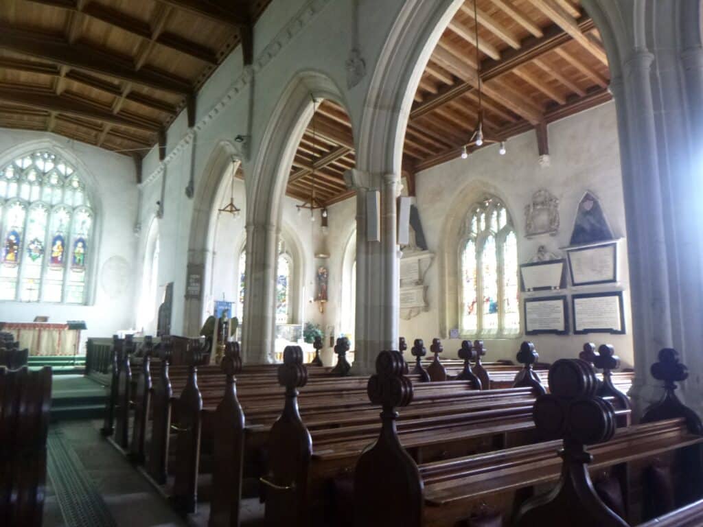
All Saint’s was built with a tower housing four bells (compared to todays eight) from stone from both Portland and Upwey quarries. Parts of the old church were reused into the new including the aisle arches and many of the corbel heads, one of which is probably from the old 12th Century Norman church.
The Saxon Pond, Wyke
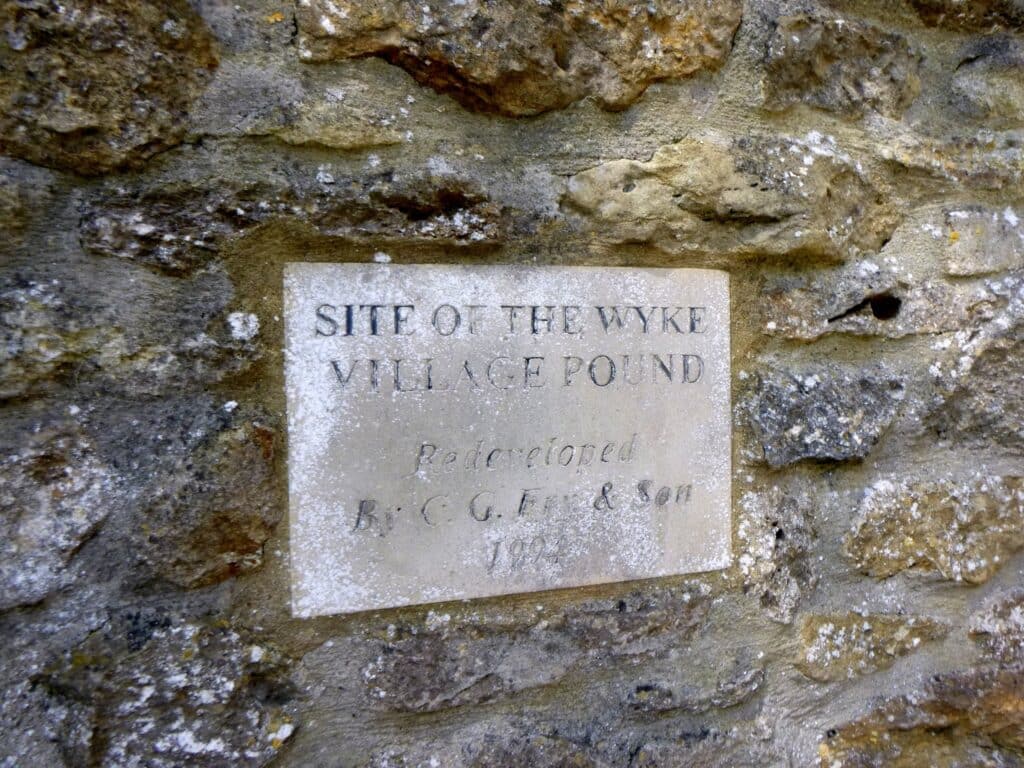
Just below the church was the Saxon pond, now redeveloped.
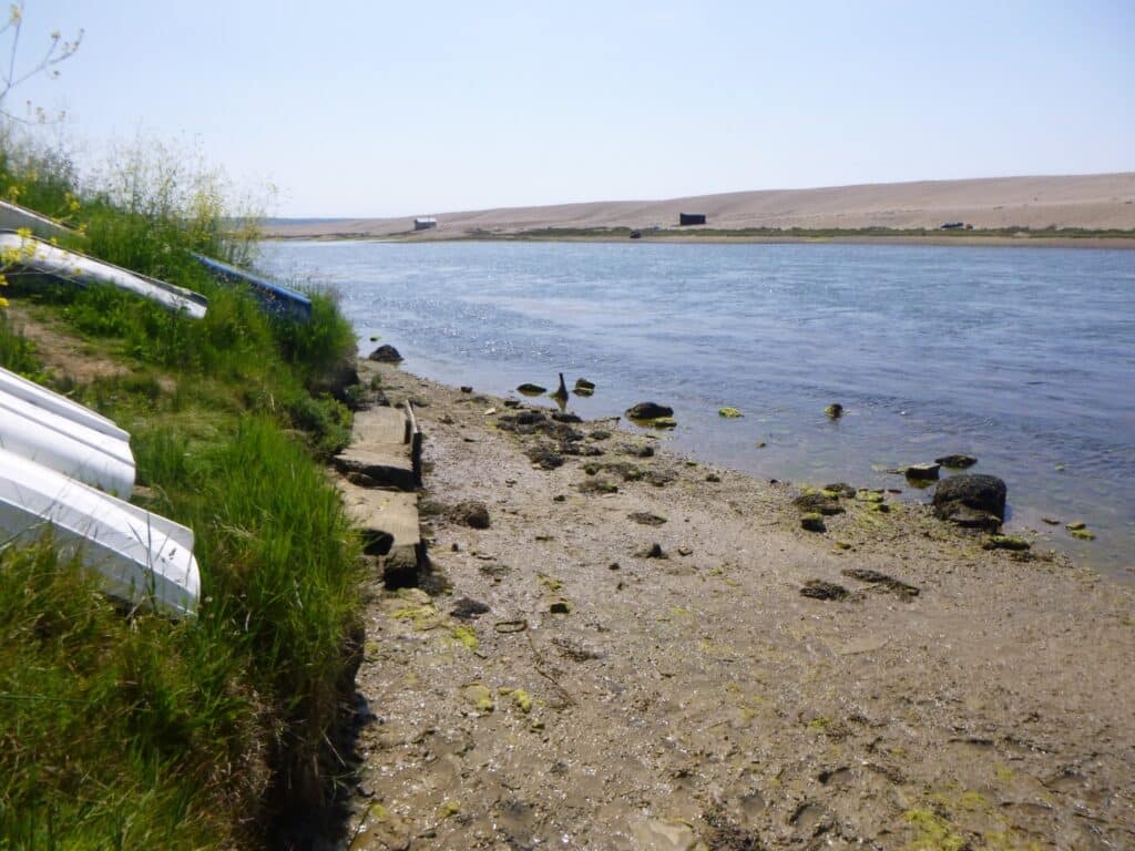
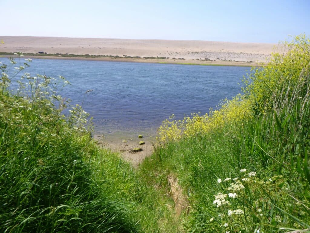
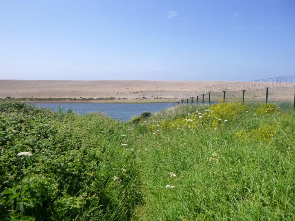
Taking in the Fleet and Chesil beach
I hope you enjoyed just a little of the history of our beautiful town.
Scott Irvine
Join us in helping to bring reality and decency back by SUBSCRIBING to our Youtube channel: https://www.youtube.com/channel/UCQ1Ll1ylCg8U19AhNl-NoTg and SUPPORTING US where you can: Award Winning Independent Citizen Media Needs Your Help. PLEASE SUPPORT US FOR JUST £2 A MONTH https://dorseteye.com/donate/


