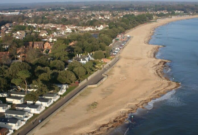
BCP Council and New Forest District Council are asking local people to get involved in the development of a new strategy. The strategy will guide how the risk of flooding and erosion along the frontage of Christchurch Bay, from Hengistbury Head Long Groyne to Hurst Spit, encompassing Christchurch Harbour, will be sustainably managed for the next 100 years.
The strategy is being produced jointly by both councils, working together with the Environment Agency. It will be designed to protect coastal communities from tidal flooding and erosion and will also consider the effects of climate change, including sea level rise and the increased levels of storminess.
The coastal frontage has been divided into five distinct areas to help people provide feedback and identify how flood and erosion risks might be addressed. The areas are:
- Mudeford Sandbank
- Christchurch Harbour
- Christchurch beaches and cliffs
- Naish Cliff and Barton-on-Sea
- Hordle Cliff and Milford-on-Sea
Councillor Mark Anderson, Portfolio Holder for Environment, Cleansing and Waste at BCP Council, said: “As our Christchurch frontage does not yet have a strategy in place, there has been no historic investment from central government and coastal schemes have mainly been council funded. An adopted strategy will allow us to develop financially viable business cases for flooding and coastal defence works, securing the required partnership funding. We have recently achieved this at Poole Bay Beach with the timber groyne renewals and beach renourishments.”
Councillor Steve Davies, Portfolio Holder for Environment and Coastal Services at New Forest District Council, added: “We are urging people to get involved from the outset by sharing their ideas or concerns with us. We are also asking for people to share their photos taken on this stretch of coast. Historic photographs of our beaches and cliff tops can really help us to document changes in coastal features over time. All feedback received will be used to identify where, when and broadly what type of works are needed and can realistically be delivered to protect this coastline from tidal flooding and erosion.
Unfortunately, despite everything that can be done, there will always be some locations where it is not possible or appropriate to defend against flooding and erosion or maintain existing defences. In these cases, the strategy will help identify the communities who may need time and support to adapt to future change.”
During the strategy’s development, there will be many opportunities for everyone to contribute their views. The first of our public engagement events, hosted by Dorset Coast Forum, is how you can find out more about the strategy. This public online event will be held on Wednesday 14 July from 7-8:15pm or Thursday 15 July from 12:45-2pm. Register and book your free online ticket now here.
The survey opens on Monday 12 July and will close at midnight on 15 August 2021. An interactive map will also be available, so you can share photos and comments about this stretch of coast by pinning them to the map for others to see.
As the strategy develops there will be further opportunities for people to get involved. It is anticipated the final strategy will be adopted by Spring/Summer 2023.
For more information visit the website here.
PLEASE SUPPORT US FOR JUST £2 A MONTH


