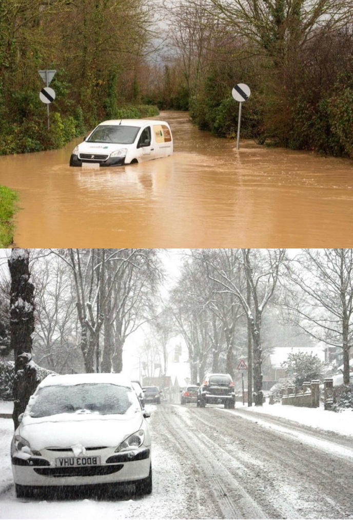
The UK has faced a turbulent winter so far, with Dorset and other regions experiencing a series of storms that have brought severe weather conditions. As New Year’s Day approaches, the country is bracing itself for further disruption, with weather warnings issued for snow, wind, and rain across much of the nation.
New Year’s Day Storm Warnings
The incoming weather system, about to hit the UK, is being described as a “multi-hazard storm,” combining severe gales, heavy rain, and potentially significant snowfall. This is when rain encounters cold air; the likelihood of snow increases, particularly across certain areas.
The most substantial snowfall is expected to cover a swathe from Donegal, across Northern Ireland, and into the north of England and southern Scotland. Meanwhile, the strongest winds are forecast for southern parts of the UK, most notably from Cornwall to Dorset, with gusts potentially reaching 60mph inland and up to 80mph along the coasts of the Irish Sea.
Continuing Stormy Conditions
The storm’s impact will not be confined to New Year’s Day. The unsettled weather is predicted to continue into 2 January, prompting the Met Office to issue yellow weather warnings across England, Wales, and parts of Scotland. These warnings highlight the risk of further travel disruptions, hazardous conditions, and potential power outages.
Recent Disruptions
In the days leading up to New Year’s, thick fog caused widespread chaos, particularly for travellers. Tens of thousands of airline passengers faced delays or cancellations, while drivers were cautioned about poor visibility and dangerous road conditions.
Looking ahead to New Year’s Eve, revellers are being warned of a “wet and rather windy” evening, with a chance of snow in Scotland for Hogmanay celebrations. Met Office meteorologist Simon Partridge noted that the weather could prove disruptive, particularly in Scotland, where the worst conditions are expected.
Impact on Dorset
Dorset has already borne the brunt of this winter’s extreme weather, with heavy rain leading to localised flooding and strong winds causing damage to coastal areas. The county’s vulnerable coastline, including areas such as Chesil Beach and Lyme Regis, has seen high waves and erosion, exacerbated by persistent storms. Residents have been advised to remain vigilant and prepare for further adverse weather in the coming days.
Preparing for the Storm
Authorities are urging the public to stay informed through official updates and to take precautions against the hazardous conditions. Travellers are advised to check transport schedules, and those in areas at risk of flooding should have emergency plans in place.
As the UK prepares to ring in 2025, the stormy weather serves as a reminder of the challenges winter can bring. For many, the focus will be on staying safe and weathering the storm until calmer conditions prevail.


