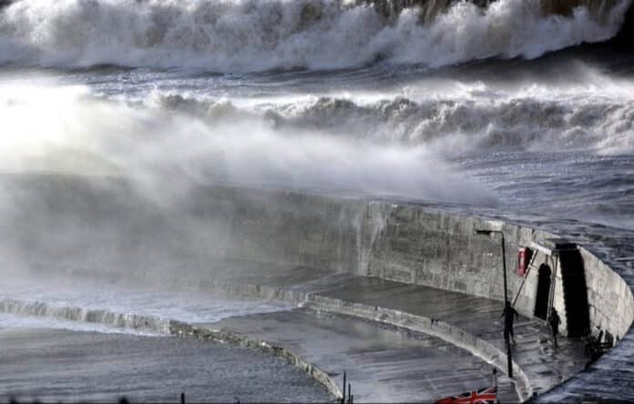
The Met Office has taken an unusual step by extending its amber wind alerts to encompass most of the UK in anticipation of Storm Isha, marking the ninth storm since September. The warnings, which highlight potential “danger to life” in certain areas, are in response to expected wind speeds of up to 80mph from the storm. This could lead to power outages, increased traffic congestion due to road and bridge closures, and disruptions to rail and bus services.
Starting from 6 p.m. on Sunday until Monday morning, two 12-hour amber wind warnings will be in effect. One spans central, eastern, and western England, covering all of Wales except London and parts of the South East. The other covers all of Scotland, northern England, and Northern Ireland.
The amber warning indicates a high likelihood of power cuts, potential impacts on services like mobile phone coverage, building damage such as tiles being blown off roofs, and disruptions to transportation services including roads, rail, air, and ferry services. Coastal areas may experience danger to life from large waves and debris, while inland regions may face the risk of flying debris.
Forecasters have also cautioned about the potential for large waves and flying debris to be blown inland, posing risks to life and property. Yellow rain warnings are in place across the country, along with eight flood warnings and 58 flood alerts in England. The heaviest rain is expected today, with varying amounts in different regions.
The widespread nature of the storm is highlighted, as the entire UK is covered by the warning, a rarity compared to previous storms. Ireland’s Met Eireann has also issued amber wind warnings, with a red storm warning for coastal areas in the north.
High winds temporarily closed the Severn Bridge in both directions, while East Midlands Railway anticipates significant disruption on Sunday and Monday. Police Scotland advises avoiding unnecessary travel. Despite the adverse conditions, warmer weather is expected, with temperatures potentially reaching 13°C. However, meteorologists suggest that the strong winds, rain, and clouds may overshadow the milder temperatures.
Beyond the immediate storm period, a yellow wind warning will be in place from Tuesday afternoon until midday on Wednesday, covering Northern Ireland, north Wales, northern England, and much of Scotland.
Join us in helping to bring reality and decency back by SUBSCRIBING to our Youtube channel: https://www.youtube.com/channel/UCQ1Ll1ylCg8U19AhNl-NoTg SUPPORTING US where you can: Award Winning Independent Citizen Media Needs Your Help. PLEASE SUPPORT US FOR JUST £2 A MONTH https://dorseteye.com/donate/


