
Hooray for Google Earth! They have released the option to look at historical images of the same area from the Pro version of Google Earth and you can now access this data for free. The following images are from 2001 to 2015. The final images were taken by drone over a weekend in March. We were hoping to see sheep grazing on the site but they have been removed by the farmer to better pastures as they were losing condition. This brownfield site is unsuitable for any other sort of livestock (cattle or ponies) on welfare grounds. There are any number of hazards on or just under the ground making it extremely difficult to manage effectively with any mechanical equipment. Plans are underway to address this but, as you are all aware, it is a very sensitive issue. Whilst the plans for a solar park are with the National Planning Casework Unit, the whole issue, including the management of the SSSI, is in stasis. A classic case of “Beware the law of unintended consequences”!
The following photographs offer a rough comparison of the site over the years, and to the land around it. It’s likely that some of the farmed areas around Rampisham Down are fertilised, if not by application then by the animals that graze there. You can make up your own minds what these pictures tell you.
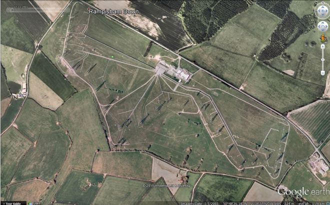 Taken 2001. (NB – the colour of the image improves as satellite imaging is updated over the years.)
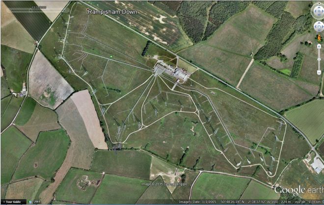 Taken 2005. Note the different shades of green and brown, both on the site and surrounding fields.
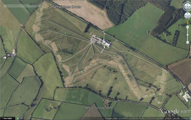 Taken 2009. The ‘site management’ of the SNCI was the responsibility of Dorset Wildlife Trust from 1996 until 2013. We know that weedkiller was regularly applied to keep the bases of the towers weed-free and that milk waste was dumped on the site in an effort to improve the soil as the grassland was gradually declining.
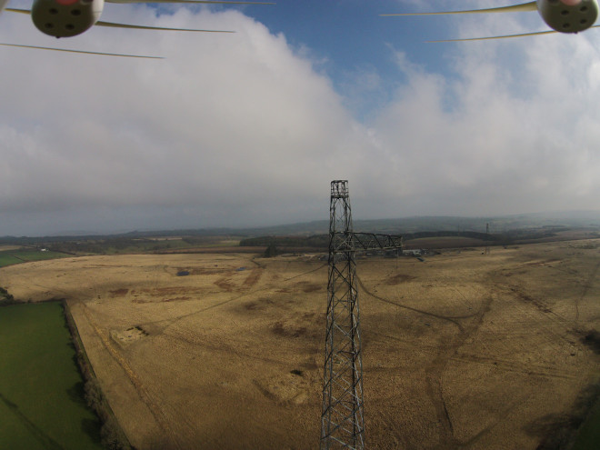 Taken March 2015. Looking east towards the buildings. Note the contrasting colour of the farmed and fertilised fields with the compacted and degraded habitat at Rampisham.
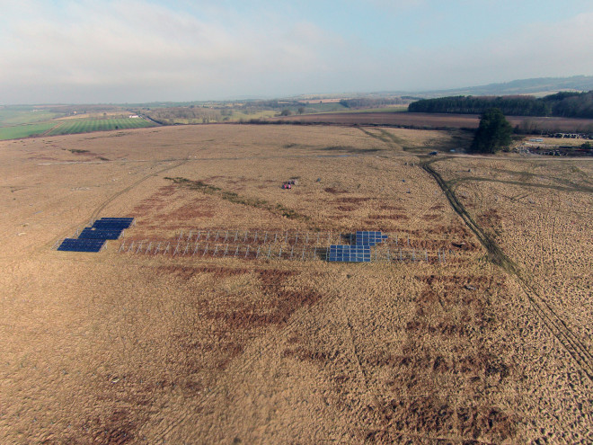 Taken March 2015. The test array from above showing the different types of panels and control areas.
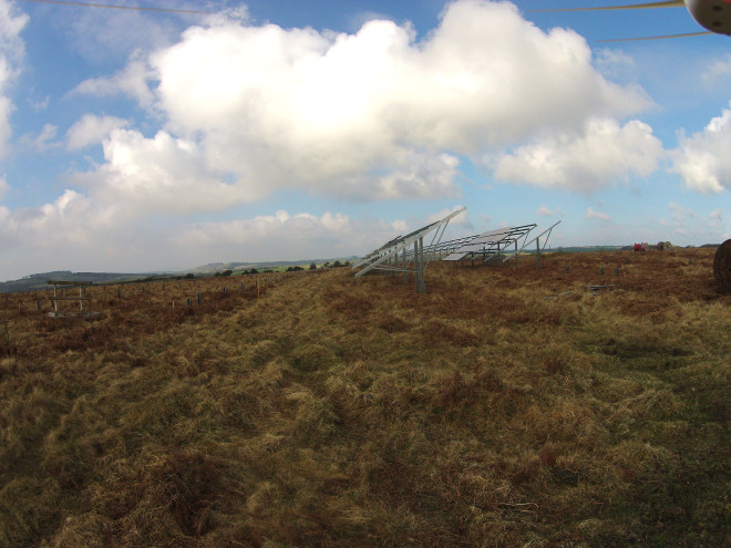 The panels and test area from the ground, showing the grassland and the dense ‘thatch’ that has built up over the years which impedes the growth of more sensitive species.
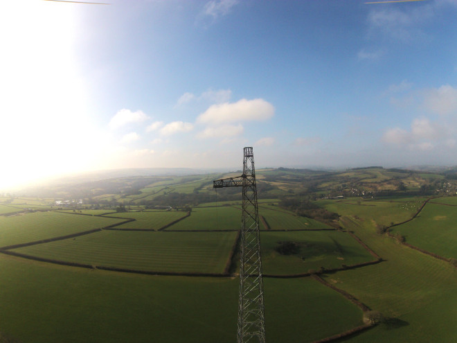 Looking west across the Marshwood Vale.
Hannah Lovegrove


