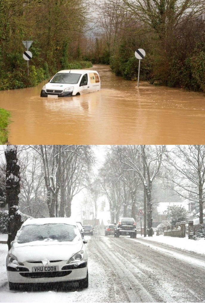
Expect more snow and freezing temperatures as an Arctic cold front moves through the UK. The Met Office alerts of wintry hazards in the coming days, with snow likely next week. The country woke up to frosty conditions, with temperatures as low as -2C in the south of England.
The UK is experiencing colder weather due to high pressure, leading to settled conditions. After Storm Henk’s heavy rain and strong winds causing flooding and fatalities, the country faces over 100 flood warnings as recovery continues.
Met Office meteorologist Aidan McGivern highlighted a change in air mass as a cold front approaches from the north, shifting from an Atlantic influence to direct Arctic air. This shift will bring rain to the northern regions, potentially impacting western Scotland the most.
The Met Office predicts a resurgence of cold weather over the weekend, spreading across the UK next week. Showers, likely turning to snow in northern areas, are expected initially, with uncertainty about the impact of a low-pressure system from the south later in the week.
The potential for snow remains uncertain in terms of intensity, location, and impacts. Flood warnings persist in England, especially along rivers like the Thames and Severn, while Wales and other areas anticipate possible flooding.
Artic air
Next week, temperatures are poised to drop significantly, introducing a potential for “substantial snow” and wintry conditions, according to the Met Office.
Anticipating a northerly airflow on Sunday, the Met Office warns of widespread colder air and the likelihood of snow showers, particularly with brisk northerly winds developing across the country. Cold temperatures, coupled with a noticeable wind chill, especially in the north, are expected to persist.
The forecast also mentions the potential for unsettled weather moving in from the south, potentially causing a band of snow and sleet where it encounters colder air nationwide. Overnight, widespread frosts are expected, accompanied by a risk of ice in certain areas.
Tony Wardle, a Met Office deputy chief forecaster, highlights the chance of disruptive snow in the middle to latter part of the upcoming week as warmer Atlantic air attempts to push in from the southwest. However, specific details remain uncertain.
The Met Office acknowledges an “increasing risk of something potentially disruptive at some point in this period,” although confidence in the timing is low. A dominant high-pressure system is expected to influence the weather from the last week of the month to the end of the first week of February.
Winds from the north or northeast may be more frequent than usual, resulting in reduced rainfall. The forecast indicates an elevated likelihood of colder temperatures than normal. Additionally, the possibility of weather fronts approaching from the west or southwest may bring a temporary interlude of slightly milder and more unsettled conditions, heightening the risk of snow and ice where they intersect with colder air over the UK.
Join us in helping to bring reality and decency back by SUBSCRIBING to our Youtube channel: https://www.youtube.com/channel/UCQ1Ll1ylCg8U19AhNl-NoTg SUPPORTING US where you can: Award Winning Independent Citizen Media Needs Your Help. PLEASE SUPPORT US FOR JUST £2 A MONTH https://dorseteye.com/donate/


