
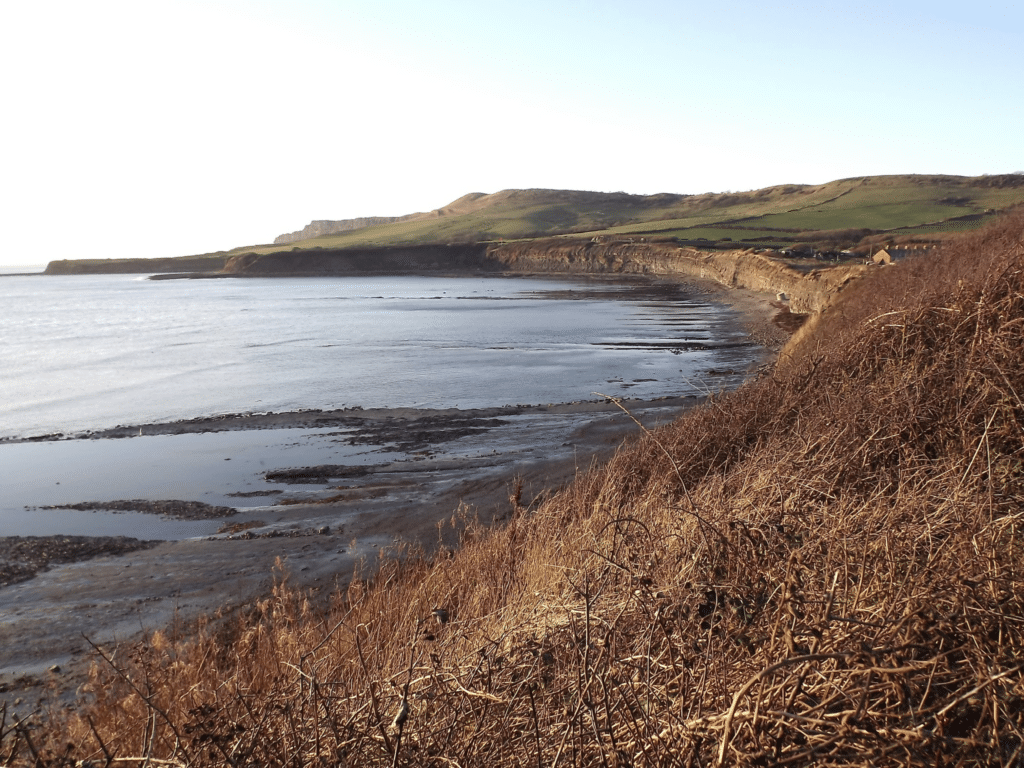
Kimmeridge has much of interest and one of the things to look out for is the oil well that has been producing since 1961. Despite being on the cliff top it is not particularly noticeable and is well camouflaged by drab paint. One of the most obvious things at the site is a nodding donkey pump that helps draw the oil to the surface. Oil is pumped from depth not from the Kimmeridge Clay but from the Forest Marble limestone reserve rock at a depth of around 350 m. The oil probably originates in much deeper rock in the form of Lower Jurassic, Lower Lias clays similar to those seen at Lyme Regis. The well originally produced 350 barrels / day (a barrel of oil is 35 gallons in old fashioned units!) but still produces around 65 barrels / day. The oil is stored on site and taken road tanker to the Wytch Farm gathering station near Wareham from where it goes by pipeline for refining. The well is located on the crest of a gentle up-fold known as an anticline. Anticlines are one of the classic types of oil traps where oil and gas can accumulate. The picture below shows the anticline exposed in the cliffs and the oil well site is arrowed.
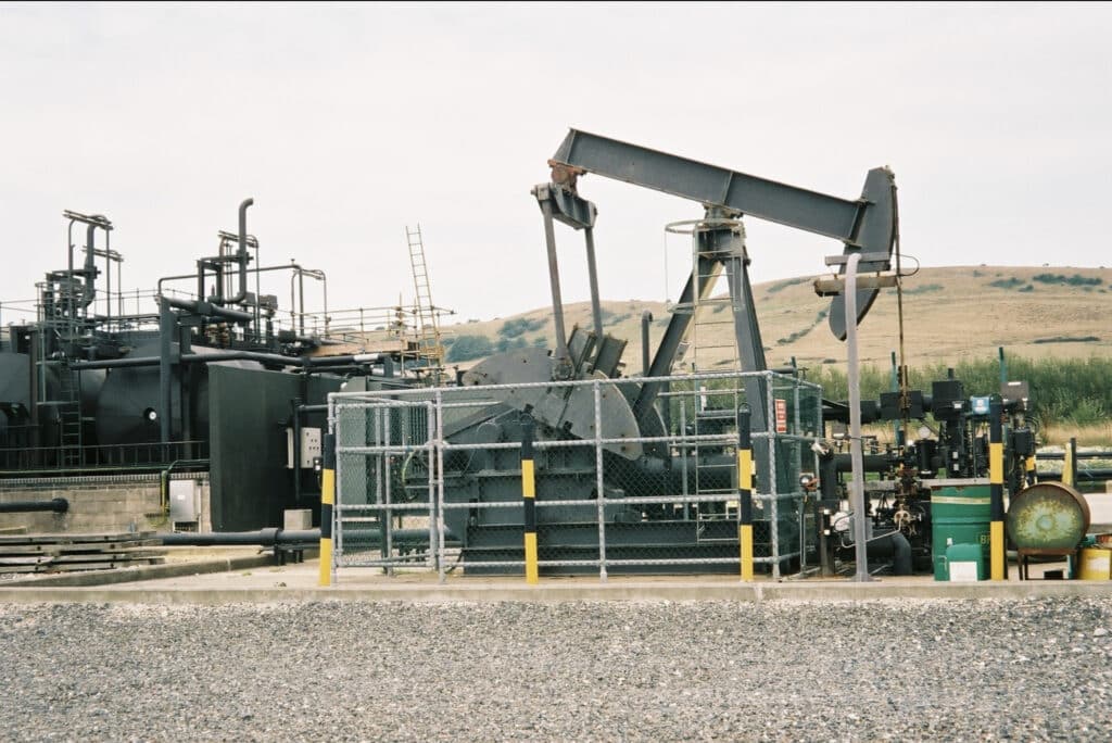
The picture below shows the equipment on the cliff top used to draw the oil to the surface and store it.
The Kimmeridge Clay is also hydrocarbon rich and some beds are termed an oil shale. The oil shale formed from muddy sediment deposited in the sea around 150 million years ago and the plankton living in the sea, when it died, sank to the sea floor and was preserved in the mud producing the high organic content. The oil shale is very noticeable as it is black in colour and very light in weight (low density) due to the carbon content rather than mineral content. The oil shale beds are most easily seen to the east of Kimmeridge and back in Victorian times the oil shale was exploited commercially. Recently erosion of the cliffs exposed an old truck and some track that provided evidence of the workings as seen in the picture below.

After extraction the oil shale was heated up in retorts and the oil driven off. Later in Victorian times more modern techniques (drilling of oil wells, especially in the U.S.A.) made such extraction obsolete and the industry died.
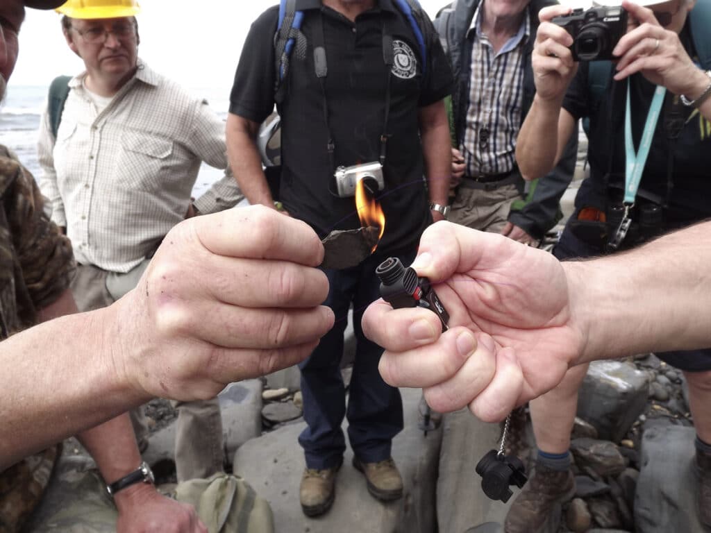
The Kimmeridge Clay in Dorset is not a significant oil producer because it has not been buried deeply and heated enough to generate oil and gas but much of the oil recovered from North Sea oil wells originated in the Kimmeridge Clay, what is known as the source rock. The picture below shows that oil shale does contain flammable hydrocarbons!
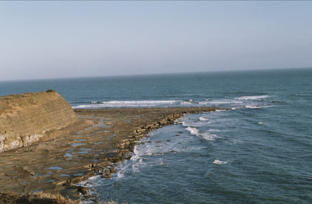
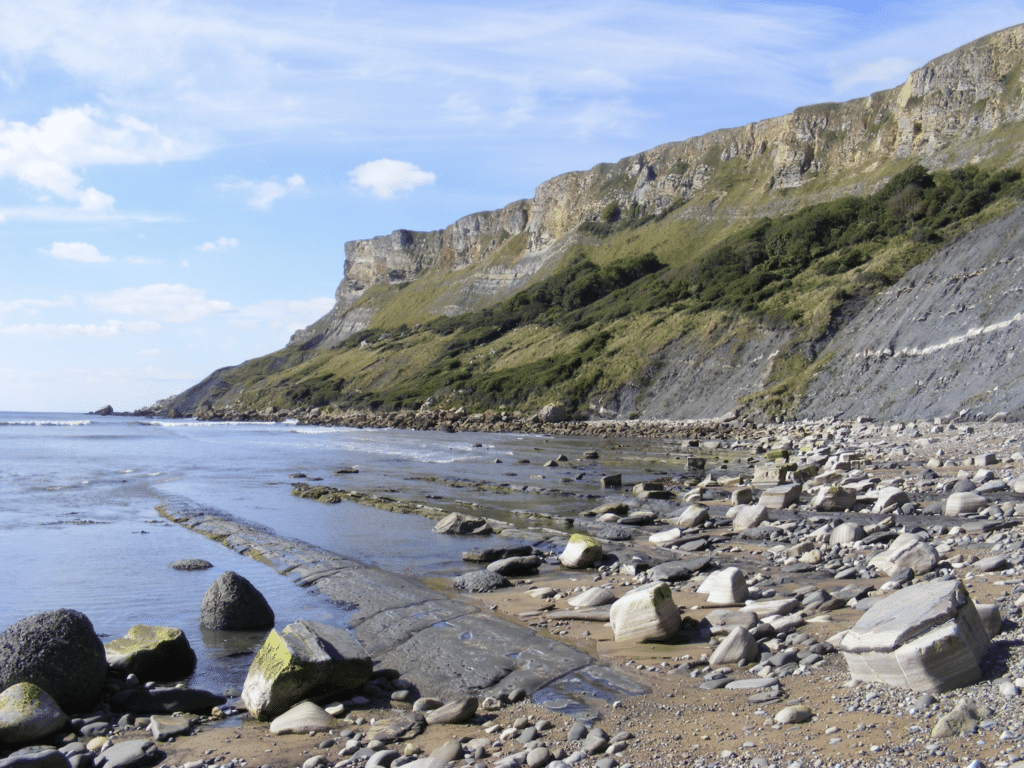
Immediately west of Kimmeridge Bay one of the most obvious features is Broad Bench where one of the limestone beds (the Flat Stone Band) occurs and is more resistant to erosion than the clay beds above.
Moving west from Kimmeridge there are spectacular views especially from below Gad Cliff from Brandy Bay. Access is limited because the area is within the Lulworth Ranges but again the area can be accessed via the coastal footpath, which is open most weekends and during school holidays. The form of Gad Cliff is controlled by the geology. The harder Portland Stone forms the steep crest with softer, more easily eroded, Portland Sand and Kimmeridge Clay forming the lower part with a more gentle slope. More of this in the next edition!
Join us in helping to bring reality and decency back by SUBSCRIBING to our Youtube channel: https://www.youtube.com/channel/UCQ1Ll1ylCg8U19AhNl-NoTg SUPPORTING US where you can: Award Winning Independent Citizen Media Needs Your Help. PLEASE SUPPORT US FOR JUST £2 A MONTH https://dorseteye.com/donate/


