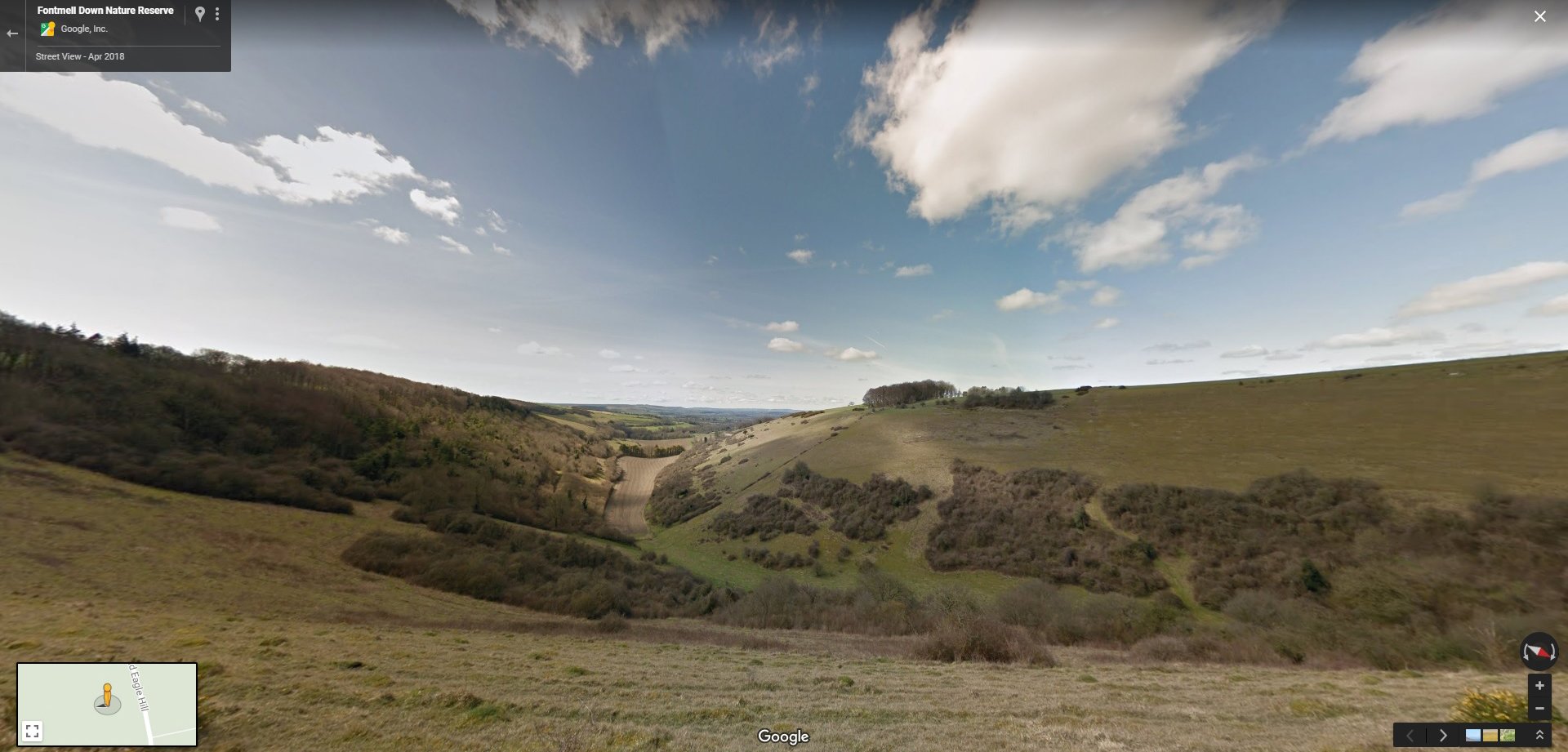
Dorset Wildlife Trust (DWT) is delighted to have some of its nature reserves available on Google Maps Street View, allowing nature enthusiasts to take a 360-degree tour of our nature reserves online.
Earlier in the year DWT was loaned a Google Street View Trekker camera for capturing imagery at our nature reserves and centres. Staff and volunteers walked miles using the 360-degree street trekker back pack, to capture the experience of walking around some of DWT’s most iconic nature reserves in Dorset.
Dorset Wildlife Trust Marketing and Fundraising Director, Alastair Cook said, “Google Street View is a fantastic way for everyone to experience our nature reserves and enjoy the landscapes and wildlife DWT is working hard to protect in Dorset. It’s ideal for people who aren’t able to visit our nature reserves in person, but it also gives those planning their visit an idea of what to expect. We’re very grateful to Google for giving us the opportunity to capture our reserves in this way.”
Dorset Wildlife Trust will also be using this imagery to enhance its new website, which will be launched in March 2019.
The DWT nature reserves available on Google Street View are: Lorton Meadows nature reserve, Brownsea Island nature reserve, Tadnoll nature reserve, Powerstock Common nature reserve, Fontmell nature reserve, Kingcombe Meadows nature reserve and Centre, and Upton Heath nature reserve.
For more information about our nature reserves, visit www.dorsetwidlifetrust.org.uk/reserves
To report this post you need to login first.


